 Geobru catalogue
Transport networks
Type of resources
Available actions
Topics
INSPIRE themes
Keywords
Contact for the resource
Provided by
Years
Formats
Representation types
Update frequencies
status
Service types
Scale
-
This view service allows, by means of a formatted URL, to display the STIB bus network and tram and train network in the Brussels-Capital Region.
-
This service allows downloading Brussels Mobility datasets.
-
Web Map Service for layers of Brussels Mobility
-

This download service allows, by means of a formatted URL, to download any object of the UrbIS Topo reference vector dataset.
-
This view service allows, by means of a formatted URL, to display the UrbIS Topo reference vector dataset.
-
This view service allows, by means of a formatted URL, to visualize UrbIS data from data updated annually.
-
This tiled view service gives access to tiled georeferenced maps of UrbIS from data updated annually.
-
This tiled view service makes it possible to obtain geo-referenced tiles of the raster datasets making up the UrbIS series. This service is updated weekly from the corresponding layers in the View service - UrbIS vector data and discreetly from the analogous layers of the View service - Raster. The use of this service is recommended for all viewers and front-end applications.
-
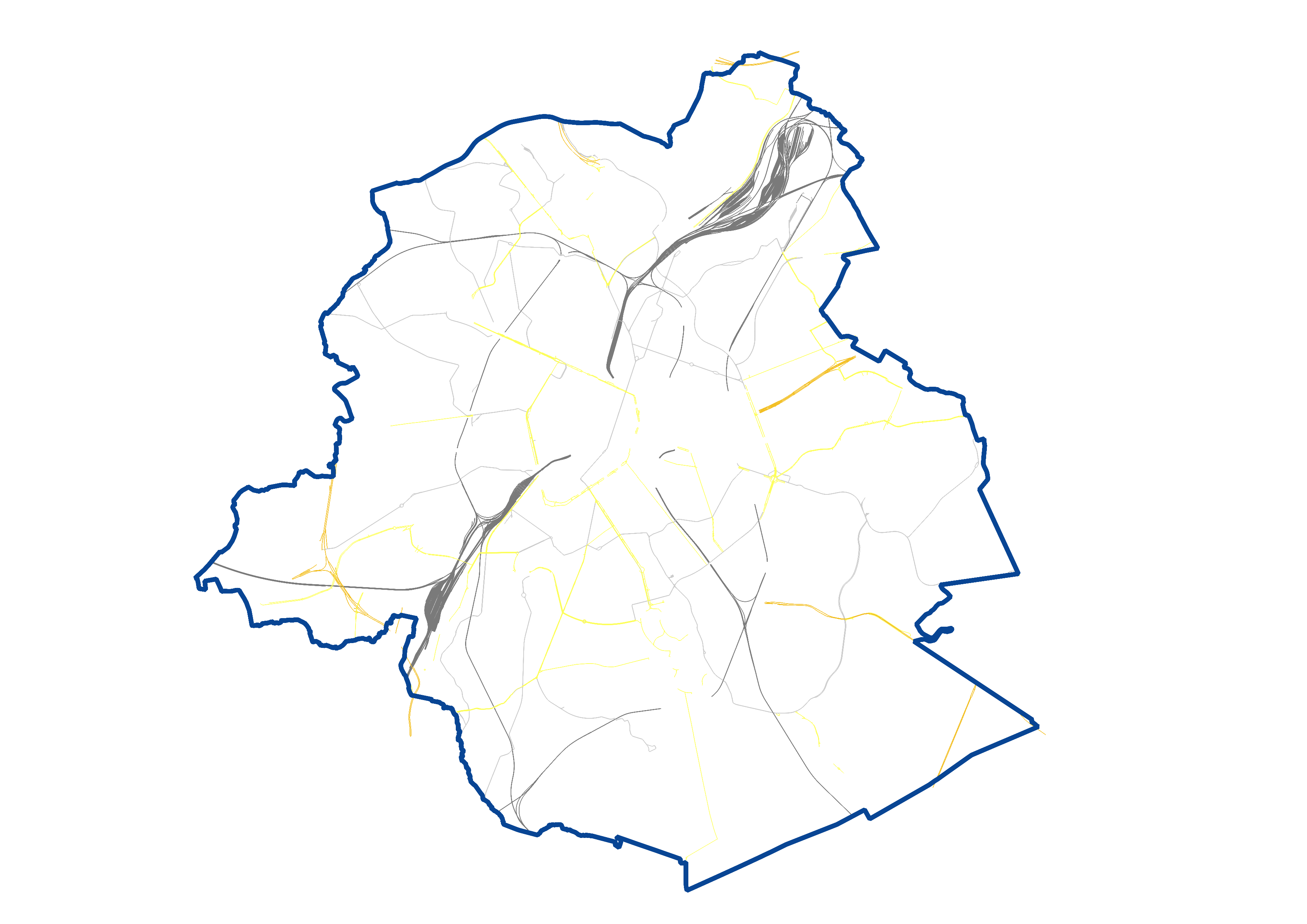
UrbIS - Transport networks corresponds to the dataset of road networks and tram and train networks in the Brussels Region. This dataset is composed of three geometric classes. The first class corresponds to the street axes. The second corresponds to street intersections, and the third corresponds to the rail network. The dataset is freely downloadable, in the form of zipped shapefiles. The dataset is notably produced by integrating the attribute informations provided by Brussels Mobility.
-
Brussels-Capital Region : The road network in the Brussels-Capital Region is divided in regional (generally the most structuring traffic axes) and municipal (generally roads of local character) roads. Approximately 20% of the road network is managed by the region.